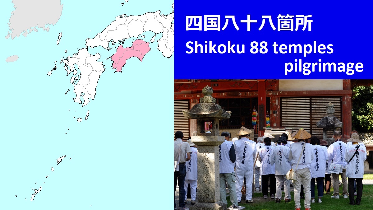
Temples in Kochi Prefecture (No.24 - 39)
 Temples for the pilgrimage in Kochi Pref.
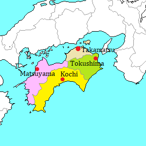
Kochi Prefecture is located in the south part of Shikoku island.
It is the second prefecture of the pilgrimage.
For the pilgrim, Kochi Prefecture is called as Shugyô no Dôjô (修行の道場).
It means "Training school of ascetic practice".
From No.23 Yakuouji in Tokushima Prefecture, the pilgrim walks about 77 km along the coast, then reaches the tip of Muroto Cape.
The cape is like an acute angled triangle on the map.
There is a high hill but the road runs at the foot along the coast.
There is a cave at the eastern foot of the hill.
It is called Mikurodo (御厨人窟)
It is said that Kuukai had practiced Buddhist asceticisms and been enlightened in this cave in his twenties.
From the cave, probably, he could see only the sky and the sea.
His name "Kuukai" is composed by "kuu" meaning sky and "kai" meaning sea.
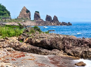
Cape Muroto
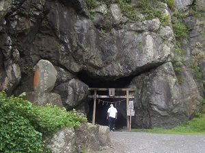
Mikurodo near Cape Muroto
On the hill, there is No.24 Hotsumisakiji.
It is the first temple in Kochi Prefecture.
From Cape Muroto, the pilgrim walks along the coast toward northwest.
The temples from No.25 to 27 are on the hills along the route.
| No. | Temple name | Kanji Char. | Distance (km) to next temple |
|---|---|---|---|
| 24 | Hotsumisakiji | 最御崎寺 | 6.4 |
| 25 | Shinshôji | 津照寺 | 4.5 |
| 26 | Kongoôchôji | 金剛頂寺 | 29.9 |
| 27 | Kônomineji | 神峯寺 | 38.5 |
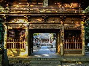
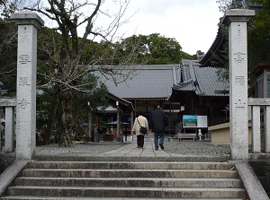
No.24 Hotsumisakiji
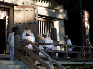
No.26 Kongochoji
After the pilgrim walks about 38 km, there is No.28 Dainichiji.
From there, the pilgrim enters the area of Kochi city.
The pilgrim passes through Kochi city from east to west.
The temples from No.28 to 34 are dotted in the area.
No.31 Chikurinji is on Godaisan hill.
It is a park and there is a good observatory to view the center of Kochi city.
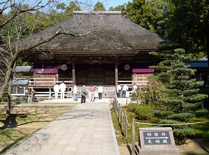
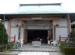
No.29 Kokubunji
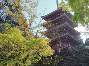
No.31 Chikurinji
| No. | Temple name | Kanji Char. | Distance (km) to next temple |
|---|---|---|---|
| 28 | Dainichiji | 大日寺 | 8.8 |
| 29 | Kokubunji | 国分寺 | 7.1 |
| 30 | Zenrakuji | 善楽寺 | 8.1 |
| 31 | Chikirinji | 竹林寺 | 6.8 |
| 32 | Zenjibuji | 禅師峰寺 | 9.8 |
| 33 | Sekkeiji | 雪蹊寺 | 6.3 |
| 34 | Tanemaji | 種間寺 | 9.6 |
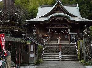
No.33 Sekkeiji
No.34 Tanemaji
The pilgrim leaves No.34 Tanemaji, then crosses Niyodo River.
From there, the pilgrim enters the west part of Kochi Prefecture.
But there are only five temples in this wide area.
In addition, the whole area is mountainous, and the main road runs through the mountains.
To visit No.35 Kiyotakiji and No.36 Shôryûji, route buses around Kochi city are available.
Between No.37 and No.38, the distance is about 85 km and is the longest section in whole route.
It takes over 2 hours by car.
If you walk, it takes over 3 days.
Of course, it is OK to use railway.
No.37 Iwamotoji is near Kubokawa station.
To, No.38 Kongôfukuji, route bus is availble from Nakamura station.
The limited expresses stop at both stations.
No.38 Kongôfukuji is located near the tip of Cape Ashizuri.
Unlike Cape Muroto, the cape is surrounded by steep cliffs washed by rough sea.
it is at the southernmost point of Shikoku, so there are subtropical plants in the precinct.
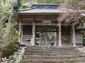
No.35 Kiyotakiji
No.36 Shoryuji
| No. | Temple name | Kanji Char. | Distance (km) to next temple |
|---|---|---|---|
| 35 | Kiyotakiji | 清瀧寺 | 15.7 |
| 36 | Shôryûji | 青龍寺 | 53.6 |
| 37 | Iwamotoji | 岩本寺 | 84.9 |
| 38 | Kongôfukuji | 金剛福寺 | 54.2 |
| 39 | Enkôji | 延光寺 | 28.0 |
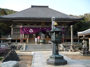
No.38 Kongofukuji
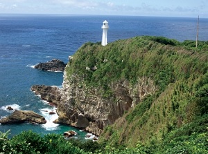
Cape Ashizuri
The last No.39 Enkôji is in Sukumo city at the southwestern edge of Kochi Prefecture.
The pilgrim crosses mountains again, and goes to the west coast of Shikoku.