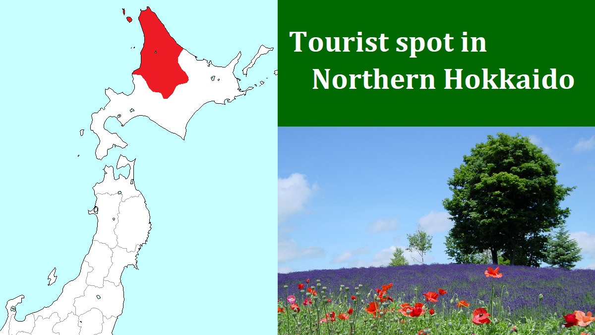
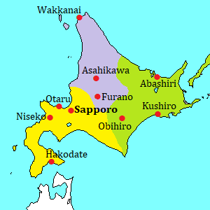
Rebun Island [礼文島]
View of Rebun Island from ferry
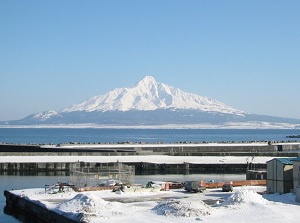
Mt.Rishiri from Rebun Island
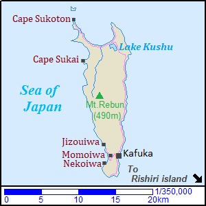
Map of Rebun Island
Rebun Island is a slender island in the Sea of Japan, and is located about 15 km northwest of Rishiri island.
It is about 5 km from east to west and 20 km from north to south in width.
The highest mountain is Mount Rebun (490 m) located nearly in the center of the island.
Western coastline of this island mostly has steep cliffs, but the east coast is relatively smooth.
So a main road of this island runs along the east coast.
The strong wind from west blows down through the year, and the climate is cold.
Then we can see many alpine flowers on the west side of the island.
The population of the island is about 2,500.
Main village is Kafuka (香深) at the south part of the island.
There is the port of ferry.
The main attraction of this island is the nature.
To travel around Rebun Island, you can use a route bus.
The route bus runs from Kafuka to Cape Sukoton and to west coast through Momoiwa, 4-5 times per day respectively.
Taxi is small in number.
Then you had better require the advanced reservations.
But, you can rent a car or a bicycle at Kafuka.
This island is not so broad.
So you can walk or trek around whole island.
Several routes are set for trekkers.
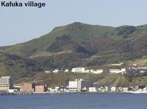
Kafuka (香深)
Kafuka is maybe a only village in this island, and has the port of arrival from Wakkanai and Rishiri island.
It is located in the southern part of the island.
There is a few hotels in this town.
It is the starting point to travel around Rebun Island.
Momoiwa (桃岩)
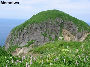
Momoiwa is a rocky mountain located 1.5 km west of Kafuka village.
The name means "peach rock", because they say the shape is similar to a peach.
We can see it from an observatory located just to the east.
Around the observatory, the fields of alpine flowers are spread, and we can see not only them but also the Sea of Japan.
To visit the observatory (about 225 meters high), you walk on the mountain trail about 2.8 km from Kafuka port.
From late April to the middle of September, a few route buses are operated to the foot of the observatory.
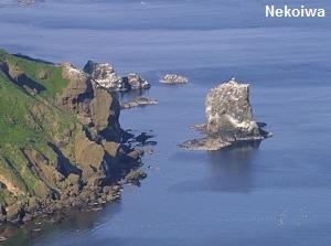
Nekoiwa (猫岩)
Nekoiwa means "cat rock", and is a rock like a cat.
It is located about 1.2 km southwest of Momoiwa and is on the sea near the west coast.
We can see it from the observatory for Momoiwa.
And there is Nekodai-Momodai observatory just between Momoiwa and Nekoiwa.
From there, you can see both Momoiwa and Nekoiwa.
Sightseeing bus visits this spot from May to the September
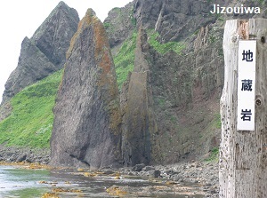
Jizouiwa (地蔵岩)
Jizouiwa means "a rock like a kind of Buddha statue".
It is located about 2.3 km north-northwest of Momoiwa and a tall rock stands near the west coast.
Now it is forbidden to visit near the place because of falling rocks.
We can enjoy a beautiful view of sunset around the beach.
And, agate is mixed in the stone and sand around the beach.
It is located about 0.5 km from Motochi stop of the route bus.
A few buses are operated in a day.
Lake Kushu (久種湖)
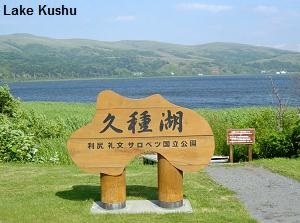
Lake Kushu is only lake in Rebun island, and is located near the north end of the island.
It is the northernmost lake in Japan.
In spring, Asian skunk-cabbages bloom on the lakeside, and a lot of wild birds visit here.
The nearest route bus stop is "Byoin-mae" and it takes about 44 minutes from Kafuka.
Cape Sukai (澄海岬)
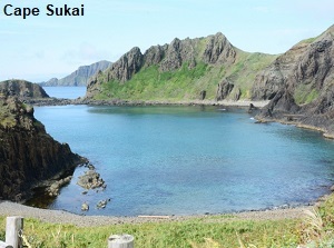
Cape Sukai is a cape located in the northwest part of the island.
The water of the inlet is very clear and beautiful blue.
So, this is one of the popular spots in Rebun island.
There is an observatory on the cape.
When you visit here, you must walk about 3.5 km from Hamanaka bus stop.
It takes about 47 minutes from Kafuka to Hamanaka.
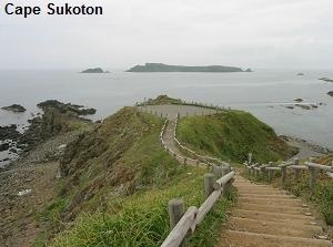
Cape Sukoton (スコトン岬)
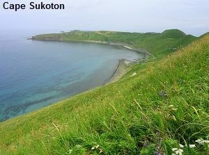
Cape Sukoton is a cape located in the northmost of the island.
We can see "Todo island" off the coast.
If it is fine, you may see Sakhalin island from the cape.
There is the last stop of the route bus.
It takes about 56 minutes from Kafuka.
How to get here
By ferry, 1 hour and 55 minutes from Wakkanai port, 40 minutes from Rishiri island.

